by ChrisHeirani | Jun 26, 2014 | News
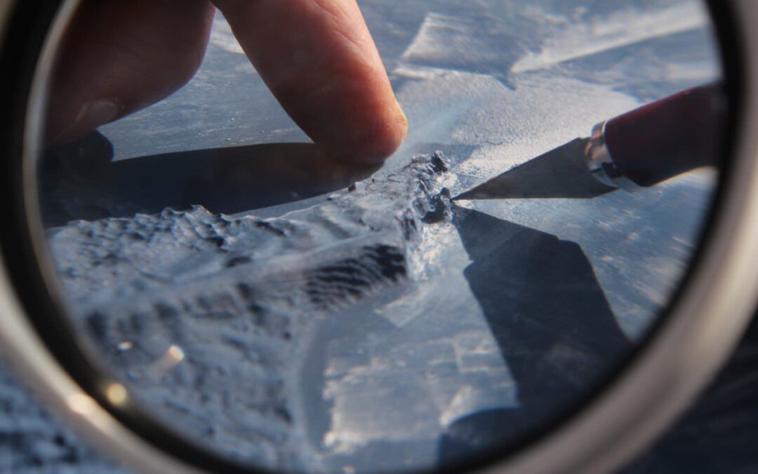
Jeremy models details of features such as Chesil Bank, Durdle Door and Old Harry Rocks on a unique 3D relief map of the Jurassic Coast in Dorset. The map serves as a legend to locate a variety of different landforms that have inspired his paintings and prints of the...
by ChrisHeirani | Jun 3, 2014 | Exhibition & Events, News, Paintings
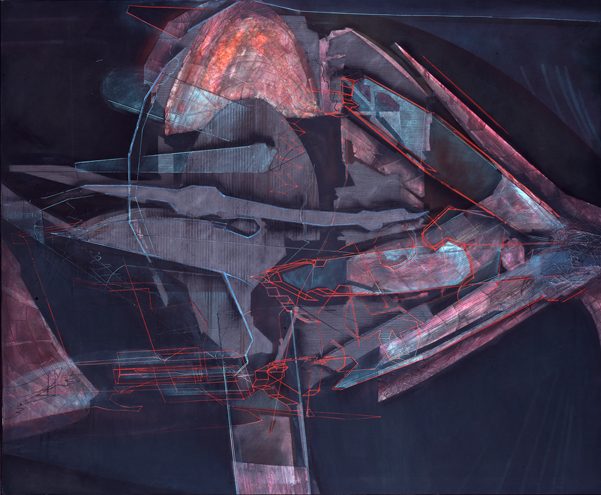
“The ING show begins with my early explorations of landscape. In the early 1980s I had also become interested in Landsat imagery (photographs taken from satellites 570 miles up in space) and Nazca Indian line drawings and these were to influence both the...
by ChrisHeirani | Apr 28, 2014 | News
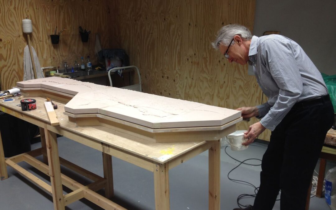
We used a CNC (Computer Numerically Controlled) milling machine to build the 3D Map from geospatial data of the Jurassic Coast supplied by Dr Andy Ford of Bournemouth University. By starting with a solid block and removing material, the Subtractive Rapid Prototyping...

by ChrisHeirani | Mar 30, 2014 | News
Jeremy and Dr Matt Williams looking at volume IV of A History of British Fossil Reptiles, by Sir Richard Owen, 1849. Jeremy visited Bath Royal Literary and Scientific Institution to collect images of fossils from Sir Richard Owen’s: A History of British Fossil...
by ChrisHeirani | Mar 10, 2014 | Projects
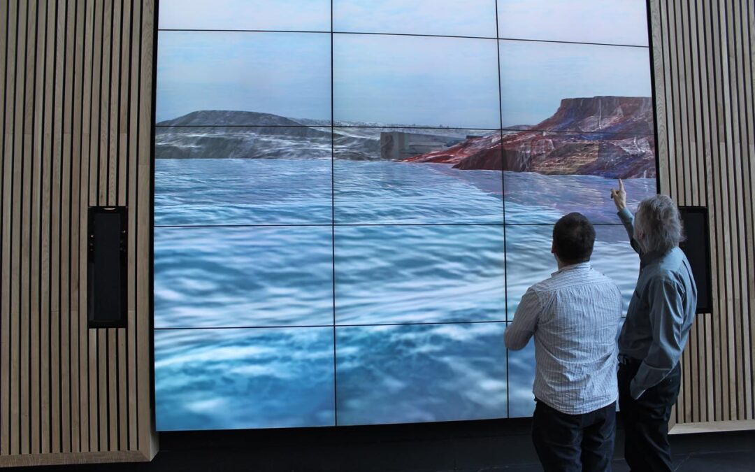
This work focuses on a boat journey that continually floats back and forth along the coast. Interspersed throughout this virtual environment are monolithic and serene planes of sections from paintings. The shapes representing the coastline and geology of the Jurassic...